We often talk about war—strategy, defense, strength. But peace is rarely discussed in the same way. It is quieter. Less visible. And sometimes, decisions made in the name of security slowly reshape what peace actually looks like. This is where the current discussion comes in.
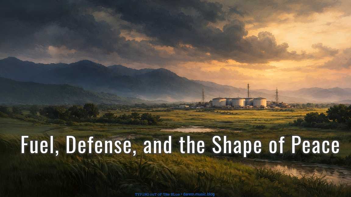
The Armed Forces of the Philippines (AFP) has expressed support for a planned US-backed refueling depot in Mindanao. The facility, expected to be located in the Davao region, will store fuel for military operations and is said to remain under Philippine ownership and control.
From the military side, the view is clear. This improves readiness, strengthens logistics, and allows faster response during conflict or disasters. It is seen as preparation, not escalation.
From the ordinary side, the question is different. What actually changes on the ground?
We are now on the map. With a fuel depot, we are no longer just another island. We become a logistics point. In a conflict, supply areas are often among the first targets. Not because we are the enemy, but because we are useful.
There is also the local risk. A fuel depot means storing large amounts of fuel. Problems like leaks, fire, or environmental damage are not everyday issues, but when they happen, they are serious.
Then there is community tension. Not everyone is comfortable with foreign military involvement. Even if it is “Philippine-controlled,” people may still see US involvement as having an agenda. That can lead to protests, political noise, and trust issues with the government.
Another thing is dependency, and this one is quiet. At first, it is just support. Over time, relying on US logistics can slowly become normal. Plans adjust. Decisions begin to consider that presence. On paper, we are still independent, but in practice it can feel different.
Then there is the outside view. Other countries will not see this as neutral. They may read it as alignment. Even if the intention is not to take sides, it can still affect trade, diplomacy, and regional relations.
For civilians, the impact is limited. There is no clear benefit in our daily lives. It does not bring major jobs, public infrastructure, or visible improvements. Its value is mainly for military operations.
And there is the long-term question. Today, it is a fuel depot. Tomorrow, it could expand. It is not automatic, but once something is established, it has a way of growing over time.
It strengthens defense, yes.
But it also quietly pulls us deeper into global power dynamics, whether we want that or not.
It is like putting a spotlight on our own house—not because we want attention, but because we are now part of the stage.
⌨ ᴛʸᵖⁱⁿᵍ ᴏᵘᵗ ᵒᶠ ᵗʰᵉ ʙˡᵘᵉ ᵈᵃʳᵉᵐ ᵐᵘˢⁱᶜ ᵇˡᵒᵍ